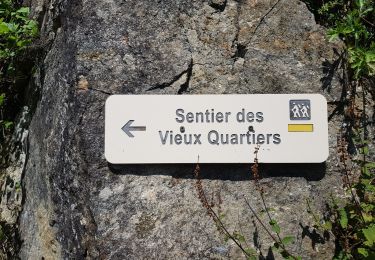
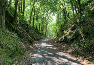
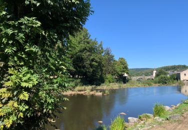
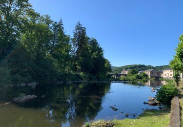
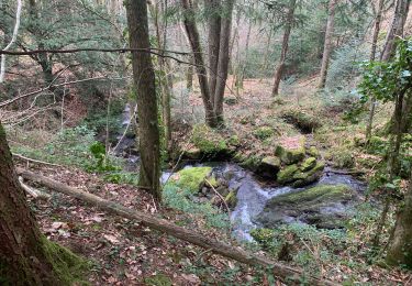
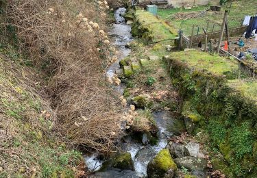
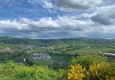
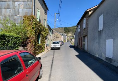
Randonnée Marche Le Bez - En partant du Bez-boucle entre forêts et hameaux - Photo

En partant du Bez-boucle entre forêts et hameaux

 jean-phi81710
jean-phi81710

Utilisateur

© OpenStreetMap contributors
Longueur
Longueur
11,2 km
Altitude max
Altitude max
808 m
Dénivelé positif
Dénivelé positif
364 m
Km-Effort
Km-Effort  
16 km
Altitude min
Altitude min
606 m
Dénivelé négatif
Dénivelé négatif
356 m
Boucle
Boucle
Oui
Date de création :
2021-03-19 10:54:19.951
Dernière modification :
2021-03-19 11:00:12.148

(0 Avis)

Marche
Marche
3h38
Difficulté : Difficile

Scannez ce code QR pour ouvrir la randonnée dans l'application SityTrail

Application GPS de randonnée GRATUITE

Logo SityTrail SityTrail

IGN / Instituts géographiques

Télécharger SityTrail sur l'App Store Télécharger SityTrail sur Google Play

Logo SityTrail SityTrail World

Le monde est à vous

Télécharger SityTrail sur l'App Store Télécharger SityTrail sur Google Play Télécharger SityTrail sur Huawei AppGallery

À propos

Randonnée Marche de 11,2 km à découvrir à Occitanie, Tarn, Le Bez. Cette randonnée est proposée par jean-phi81710.

Description

Le Bez, Belfort, Combe Sourde, Epissouliès, le Viala, la Roussarié, le Pas du Rieu, la Prunelière.

Profil altimétrique

Localisation

Pays :
France
Région :
Occitanie
Département/Province :
Tarn
Commune :
Le Bez
Localité :
Unknown
Départ:(UTM)
457740 ; 4828385 (31T) N.

Randonnées à proximité

Randonnée Marche Brassac - Brassac - Sur les hauteurs de l'Agout - Col de la cime du Ser - Photo
Marche
tercla

Marche

Difficile
Brassac, Occitanie, Tarn, France
15,7 km | 22 km-effort
5h 8min
Oui
Randonnée Marche Fontrieu - Bout du petit train  - Photo
Marche
cedric.fargues

Marche

Facile
Fontrieu, Occitanie, Tarn, France
6,3 km | 7,4 km-effort
1h 41min
Oui
Randonnée Marche Brassac - Henry IV - Photo
Marche
cedric.fargues

Marche

Moyen
(1)
Brassac, Occitanie, Tarn, France
9,2 km | 12,8 km-effort
2h 56min
Oui
Randonnée Marche Brassac - Grand tour du Salas  - Photo
Marche
cedric.fargues

Marche

Moyen
Brassac, Occitanie, Tarn, France
12,4 km | 17,6 km-effort
4h 6min
Oui
Randonnée Marche Brassac - Ruisseau du Ser  - Photo
Marche
cedric.fargues

Marche

Moyen
Brassac, Occitanie, Tarn, France
4,8 km | 8,5 km-effort
1h 58min
Oui
Randonnée Marche Brassac - L’escalier de la Peyre par les Costes - Photo
Marche
cedric.fargues

Marche

Difficile
(1)
Brassac, Occitanie, Tarn, France
10,3 km | 14,8 km-effort
2h 47min
Oui
Randonnée Marche Brassac - Croix de Barbariol - Photo
Marche
cedric.fargues

Marche

Moyen
Brassac, Occitanie, Tarn, France
9,5 km | 12,6 km-effort
3h 0min
Non
Randonnée Marche Brassac - Les costes par le Salas - Photo
Marche
cedric.fargues

Marche

Moyen
Brassac, Occitanie, Tarn, France
5,9 km | 7,9 km-effort
1h 30min
Oui
Randonnée Marche Brassac - 2014 06 08_16h51m47_au tour de brassac - Photo
Marche
cedric.fargues

Marche

Moyen
(1)
Brassac, Occitanie, Tarn, France
17,5 km | 25 km-effort
5h 2min
Non


Fermer
Mes abonnements